

AERONAUTICAL GEOPHYSICS TEAM
 Mr. Bui Minh Thanh – Captain of Aeronautical Geophysics Team (From 2021 – up to now) Mr. Bui Minh Thanh – Captain of Aeronautical Geophysics Team (From 2021 – up to now)
|
|
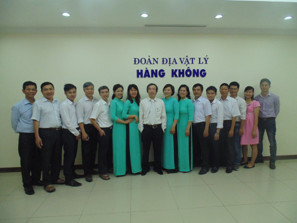 Officers and employees Aeronautical Geophysics Team
HISTORY BEGIN
Aeronautical geophysical work was carried out in Vietnam from 1961-1963 when the General Department of Geology cooperated with the Soviet Union to survey from the air at a scale of 1:200,000 North Vietnam’s mainland. In 1962-1963, aeronautical radiometric measurements were carried out at 1:25,000 scale on an area of 10,000 km2 along the Red River and the South of the old zone IV. In 1964-1965, aerial measurements were carried out at a scale of 1:25,000 over an area of 1,000 square kilometers in Hebei province.
In 1964, when the US imperialists bombed the northern provinces of Vietnam, the aeronautical geophysical survey was interrupted. In 1965, the General Department of Geology assigned the task of aeronautical geophysical survey to Delegation 35. The first aeronautical geophysical flight team was established, captain Dinh Bang, vice captain in charge of engineering: Nguyen Xuan Son.
In response to the fast-paced mineral prospecting and exploration for the socialist industrialization in our country, the Government Council issued Directive No. 1041/KT3 dated June 13, 1970 on conducting aeronautical geophysical measurements.
On January 30, 1971, the General Department of Geology transferred the task of aeronautical geophysical survey from Delegation 35 to the Department of Geophysics under Decision No. 26/QD-TC. The Aircraft Geophysics Team was established under the Department of Geophysics and Geology, taking the name of Team 65. Delegation 65 carried out the first aeronautical geophysical survey project “Aeronautical radiomagnetic survey in combination with Thanh Hoa area”. Thuy – Ba Vi, ratio 1:25,000”. The first technical staff to develop and implement the project include: Nguyen Quang Quy, Nguyen Thanh Chau, Tran Le, Mai Xuan Tuan, Ngo Minh An, Tran Huu Lich , Mai Xuan Thai, Pham Quang Phuc; Flight crew: Pham Tien Thuan, Le Ai Dich, Tran Phan Duc; Office team: Nguyen Xuan Son, Le Minh Phuc, Nguyen Huu Bac, Hoang Ba Ky, Tran Doan Hoe, La Thi Nghia, Nguyen Thi Lan….
By 1981, the 65th Division had carried out a number of geophysical flight plans such as: Aerial survey of 1:25,000 scale in East Ha Tinh, aerial radiological survey in Binh Tri Thien and Nghe Tinh regions.
In 1980, the United Nations sponsored Vietnam a system of electro-magnetic-spectral geophysical machines for aviation under the project of searching for groundwater for human life VIE/76/004.This is a geophysical equipment system. relatively modern aeronautical management, combining analog and digital recording, thereby allowing the application of computer-based document processing in the future. The technicians who have been trained in this period such as: Nguyen Van Hau, Nguyen Van Hop, Vu Van Danh, Nguyen Manh Quang, Nguyen Tuan Nam, Kieu Trung Thuy….Delegation 65 has implemented a number of flight plans. geophysics such as: 1:25,000 scale aerial survey in East Ha Tinh area, aerial radiomagnetic survey in Binh Tri Thien area, experiment on Canadian magneto-gamma-spectrum – aeronautical electrical equipment in Son Tay – Phu area Tho, surveying aviation electromagnetics in Ha Tuyen-Yen Bai-Hoa Binh region, surveying survey plans from aviation at the scale of 1:200,000 in southern provinces.
Due to many achievements in aeronautical geophysical surveys, in 1984, President of the State Council Truong Chinh awarded the third-class Labor Medal to officials and employees of Union 65 (Resolution No. 498 KT HĐNN dated May 18, 1984).
In the period 1982-1988, due to the need to search for radioactive ores for the purpose of nuclear energy development of the “Council for Mutual Economic Assistance of Socialist countries”, the General Department of Mining and Geology established a Geophysical Union. Aircraft 82 (Door 82) carried out survey flight plans from the gamma spectrum in the Da Nang – Quy Nhon region with the support of Soviet machinery and experts. The main officers of the 82nd Delegation included: Team leader Quach Kim Tru, deputy delegation Nguyen Van Bao, Doan Manh Tan, Quach Van Thuc, Vo Thanh Quynh…., geophysical engineers operating aviation machines such as: Dao Trieu Tuc, Tran Tien, Truong Cong Anh, Ho Hai, Vu Tuan Hung, Nguyen Van Lam…
In 1988, Aircraft Geophysics Enterprise was established under the Decision No. 650/M-DC dated October 4, 1988 of the General Department of Mining and Geology on the basis of merging 2 units, Team 65 and Team 82.
The current Aviation Geophysical Union is a unit that continues to inherit the tradition of the previous generation and perform aeronautical geophysical tasks for basic research, geological investigation, mineral search with 3 methods. : magnetic – gamma spectrum – aerogravity.
Leadership through the ages
Mr Nguyen Xuan Son – Captain of Flight 65, Aircraft Geophysics (1977-1999)
Mr Quach Kim Chu – Captain of the 82nd Flight Squadron (1982-1987)
Mr Pham Tien Thuan – Head of Aircraft Geophysics Corps (1999-2004)
Mr Nguyen Truong Luu – Head of Aircraft Geophysics Team (2004-2009)
Mr Kieu Trung Thuy – Head of Aeronautical Geophysics Union (2009 – 2020)
Mr Bui Minh Thanh – Head of Aeronautical Geophysics Union (2021 – up to now)
FUNCTIONS, TASKS, POWERS AND ORGANIZATIONAL STRUCTURE
The Aeronautical Geophysics Union under the Federation of Geophysics has the functions, duties and powers prescribed by VietNam Department of geology and minerals in Decision No. 496/QD-DCKS dated 20/5/2025.
1. Location and function
The Aeronautical Geophysical Union is a unit under the Geophysical Díivion, with the function of organizing the implementation of aeronautical geophysical investigations to serve the basic geological and mineral investigations on land. and at sea nationwide; perform public non-business services in geology and minerals in accordance with law.
The Aeronautical Geophysics Union has its own seal, is dependent on the Geophysical Division, and may open an account at the Bank in accordance with the law; head office in Hanoi city.
2. Duties and powers
1. Participate in the development of long-term, medium-term and annual plans of the Federation; aeronautical geophysical investigation projects serving the basic geological and mineral investigation, mineral exploration on land and at sea nationwide; investment and development projects of the Federation.
2. Perform work items ordered by the State or assigned tasks assigned by the Federation according to the annual plan of aeronautical geophysical investigation projects and projects to serve the basic geological investigation. , minerals, mineral exploration on land and at sea nationwide.
3. Perform other duties as assigned by the Federation, including:
a) Participating in determining the cost of reimbursement for the use of geological data information, quantifying and accounting for the value of geological resources and minerals in accordance with law.
b) Carry out the tasks of measuring magnetism and ground gravity in service of basic geological and mineral investigations. Established and edited to publish maps of geophysical fields.
c) Participate in the implementation of scientific research programs and projects in the field of geology and minerals.
d) Monitoring and synthesizing information, data and data on aeronautical geophysical investigation to serve the basic geological and mineral investigation, and mineral exploration on land and at sea within the scope of the survey. country.
4. Performing geological and mineral-related service activities, including:
a) Organize the construction of work items under the geological and mineral service contracts signed by the Federation and assigned the unit to perform.
b) Performing services on geology and minerals as decentralized or authorized by the Federation Head for: geophysics, geology, minerals, environmental geology, engineering geology – hydrogeology, geological hazards and other services on geology and minerals as prescribed by law.
5. Implement technical processes and regulations in production; carry out the work of occupational safety and hygiene, fire and explosion prevention in the operation of the unit according to regulations.
6. Internal acceptance of tasks and completed work of the unit, submit to the Federation for acceptance on basis the tasks assigned by the Federation.
7. Financial management, property and machinery and equipment assigned by the Federation; Organizational management, employment positions; officials and employees; implementation of administrative reform; practicing thrift, preventing and combating waste; carry out the task of preventing and combating corruption, negativity and regimes and policies in accordance with the State’s regulations and as decentralized by the Head of the Federation.
8. Implement periodical and irregular statistical reports on the performance of assigned tasks.
9. Perform other tasks assigned by the Federation Chief.
3. Organizational structure of the delegation.
The total number of staff of the Aviation Geophysics Union is currently: 20 people, of which 16 are male; 4 female.
PhD: 01; Master: 04; Engineer: 09; Bachelor: 02; College: 01; Intermediate: 02; Workers: 01
The organizational structure includes:
1. The leader of the Aeronautical Geophysics Team has a Team Leader and Deputy Leaders. The number of deputy head of the delegation shall comply with the provisions of law.
2. The Team Leader is responsible before the Union Leader and before the law for all activities of the Union and assigned tasks; develop unit rules; sign professional documents according to their assigned functions and tasks and other documents as authorized by the Federation Head.
3. The Vice-Captain assists the Team Leader and takes responsibility before the Team Leader and law for the field of work assigned by the Team Leader.
4. Officials and employees of the Delegation perform professional tasks as assigned by the Team Leader and are answerable to the Team Leader for their assigned tasks.
PROJECTS IMPLEMENTED AND EFFECTIVE.
a/ The aeronautical geophysical survey projects have been implemented.
| Numerical order | Project name | Execution time | Area(km2) | Project leader |
| 1 | An aerial survey of the North of Vietnam | 1961-1963 | Ivannukov. | |
| 2 | Flight measured from aeronautical radiography in combination with Thanh Thuy – Ba Vi area, scale 1:25,000 | 1971 | Tran Le | |
| 3 | An aerial survey of 1:25,000 scale in the East Ha Tinh area | 1976-1977 | Nguyen Xuan Son | |
| 4 | Aviation geophysical survey in Binh Tri Thien area | 1977 – 1978 | Nguyen Xuan Son | |
| 5 | Aerial survey at 1:50,000 scale in Nghe Tinh area | 1979-1981 | Pham Tien Thuan | |
| 6 | Research using Toran system and survey from the coast of Thai Binh – Ha Nam Ninh. | 1982-1983 | Nguyen Xuan Son | |
| 7 | Experimenting with a combination of canada magnetic-gamma-spectrum machines – aeronautical electricity in the Son Tay – Phu Tho region | 1982-1984 | Nguyen Xuan Son | |
| 8 | Aeronautical electromagnetic survey in Ha Tuyen-Yen Bai-Hoa Binh region | 1983-1986 | Nguyen Xuan Son | |
| 9 | Measuring and drawing aeronautical geophysics in Da Nang at the scale 1:25,000 | 1982-1986 | Xeckin .N.N | |
| 10 | Measuring and drawing aeronautical geophysics in Quy Nhon area at scale 1:25,000 | 1984-1988 | Quach Van Thuc | |
| 11 | Measuring and drawing aeronautical geophysical complex at 1:25,000 scale in the agricultural areas of Son – Quang Nam – Da Nang. | 1985-1989 | Larinxep
and Quach Van Thuc |
|
| 12 | Flight measured from 1:25,000 gamma spectrum in Thanh Hoa area | 1988-1992 | 4.460 | Nguyen Xuan Son |
|
13 |
Survey from the air at 1:200,000 scale of southern provinces. |
1984-1994 | 155.600 | Nguyen Xuan Son |
| 14 | Flight measured from 1:25,000 gamma spectrum in Da Lat area | 1990-1993 | 5.471 | Nguyen Xuan Son |
| 15 | Flight measured from 1:25,000 scale gamma spectrum in Van Yen area | 1992-1995 | 991 | Nguyen Xuan Son |
| 16 | Flight measured from the gamma spectrum 1:25,000, 1:50,000 in the Ba Na-Hoi An area | 1991-1995 | 2.971 | Nguyen Xuan Son |
| 17 | Flight measured from 1:25,000 scale gamma spectrum in Tuy Hoa area | 1991-1995 | 4.760 | Vo Thanh Quynh |
| 18 | Flight measured from the 1:50,000 scale gamma spectrum in the Rao Na area | 1993-1995 | 6.188 | Nguyen Xuan Son |
| 19 | Flight measured from the gamma spectrum in Phan Thiet at 1:50,000 scale. | 1993-1995 | 4.442 | Pham Tien Thuan |
| 20 | Flight measured from 1:50,000 scale gamma spectrum in Hue region | 1994-1996 | 4.658 | Vo Thanh Quynh |
| 21 | Flight measured from the gamma spectrum 1:50,000 scale Ban Phuc – Son La | 1995 | Nguyen Xuan Son | |
| 22 | Flight measured from 1:50,000 scale gamma spectrum in Mang Xim-Quang Ngai region | 1995-1996 | 3.750 | Nguyen Xuan Son |
| 23 | Flight measured from 1:50,000 scale gamma spectrum in Dak To region | 1995-1996 | 2.350 | Nguyen Xuan Son |
| 24 | Flight measured from 1:50,000 scale gamma spectrum in the East Kon Tum region | 1995-1998 | 8.934 | Pham Tien Thuan |
|
25 |
Flight measured from 1:50,000 scale gamma spectrum in Kon Tum area | 1997-2001 | 10.200 | Nguyen Xuan Son |
| 26 | Flight measured from 1:50,000 scale gamma spectrum in North Da Lat area | 2000-2004 | 9.500 | Pham Tien Thuan |
| 27 | Flight measured from 1:50,000 scale gamma spectrum in Phan Rang – Nha Trang area | 2004-2007 | 9.126 | Quach Van Thuc |
| 28 | Flight measured from 1:50,000 scale gamma spectrum south of PleiKu | 2008-2014 | 8.000 | Nguyen Truong Luu |
| 29 | Flight measured from gamma and gravity spectrum Lao Cai – Yen Bai scale 1:50,000 -1:25,000 | 2014 -2019 | 7.630 | Kieu Trung Thuy |
| 30 | Flight measured from aviation gravity ratio 1:250,000 sea and islands of Vietnam. | 2016-2020 | 7.630 | Kieu Trung Thuy |
| 31 | Magnetic flight, gamma spectrum, gravity Northwest region” | 2017-2020 | 616.000 | Lai Manh Giau |
– The component project “Investigation and evaluation of gold and minerals associated with the northeastern part of the Red River fault” under the project “Overall investigation of minerals and completion of the 1:50,000 scale geological map of the Northwest region to serve the planning of sustainable socio-economic development”;
– The component project “Investigation and evaluation of gold and associated minerals in the southwestern part of the Red River fault (except Nghe An province)” under the project “Overall investigation of minerals and completion of the 1:50,000 scale geological map of the Northwest region to serve the planning of sustainable socio-economic development”;
– Component project “Overall assessment of metal mineral potential in the Central Central region” under the project “Overall assessment of mineral potential in the Central Central region to serve socio-economic development”;
– Project: “Investigation, assessment and establishment of a set of maps of toxic mineral environment in Vietnam territory (mainland part – Phase I)”
– Project “Investigation and overall assessment of strategic mineral potential in Vietnam’s territory (mainland) and exploration of some prospective areas” (phase I)
– Project: “Building a set of natural radioactive environmental maps at a scale of 1:250,000 for the entire territory of Vietnam – Phase III (2023-2025): For the southern coastal provinces”
– Task “Building technical and economic norms for magnetic and gamma spectrometry in basic geological surveys, geological surveys of minerals and mineral exploration”
c/ Summary of achievements
Aviation geophysics has been applied in Vietnam since 1961. In 1964, the aerial survey flight at the scale of 1:200,000 was completed throughout the North of Vietnam. In 1983-1992, the flight was completed and linked with documents from the aviation division of South Vietnam to create a map of the field from Vietnam’s aviation at the scale of 1:500,000 (1995). This map was edited and published at a scale of 1:1,000,000 in 1998, it is valuable to use not only for geological, mineral, environmental, disaster,… but also for many Other fields such as communications, national security, etc.
Since 1982, began to apply flight technology to measure the combination of magneto-gamma spectroscopy for geological mapping and mineral search at the scale 1:25,000 and 1:50,000. To date, 18 flight projects from the gamma spectrum at 1:25,000 and 1:50,000 scale have been completed over an area of more than 95,000 square kilometers. The measurement results have collected data to establish field maps (magnetic field, gamma radiation field, field of radioactive elements K, U, Th). These data are then further processed-analyzed to establish geological structure maps, zoning and forecasting mineral prospects according to geophysical documents.
The geophysical flight technology of the Geophysical Union has been constantly innovating over the years. Before 1989, data was recorded using analog technology, flight navigation was done by taking photos and videos, and data processing and display of results were completely manual. From 1996 up to now, the above steps are all done digitally, always updated with world technology of the same period.
The results of the geophysical measurement flight, through the ground test, have detected many promising mineral areas for transfer of search and exploration. Many important mines have been discovered: Thach Khe iron (Ha Tinh), Na Rua, Na Lung, Boong Quang (Cao Bang); Khe Hoa – Khe Cao uranium (Quang Nam); fluorite Xuan Lanh (Phu Yen); gold (Son Hoa, Xa Lat, Xuan Son, Tra Bu, So Tang, Tay Hue…); magnesite Kong Queng, So Ro (Gia Lai), iron and copper-nickel in That Khe (Cao Bang), iron and lead-zinc in Cho Don (Bac Kan), Thuong Giap (Tuyen Quang); copper nickel Phan Thanh (Cao Bang) and many coastal ilmenite placer mines.
Currently, with new processing-analytic technology, the Geological Physics Federation is exploiting to improve the existing geophysical flight data, synthesizing with geological and mineral data on many structural zones– mineralogy in Vietnam. As a result, more potential areas of endogenous minerals have been identified and forecasted. When examining the ground, many new valuable mineral points were discovered such as gold in Khe Mang, Khe Nang (Ha Tinh), A Ngo (West Hue), Tra Doc (Quang Nam), Tien Cam (Quang Ngai)…
The achievements of the unit have contributed greatly, not only in geological, mineral, environmental, disaster investigation, … but also in many other fields such as communications, national security. room…for many consecutive years, the Union won the title of Excellent Labor Collective, …. Many individuals have won the titles of Hero of Labor, Emulation Soldier at branch and ministerial level…
Some pictures of the Aeronautical Geophysics Team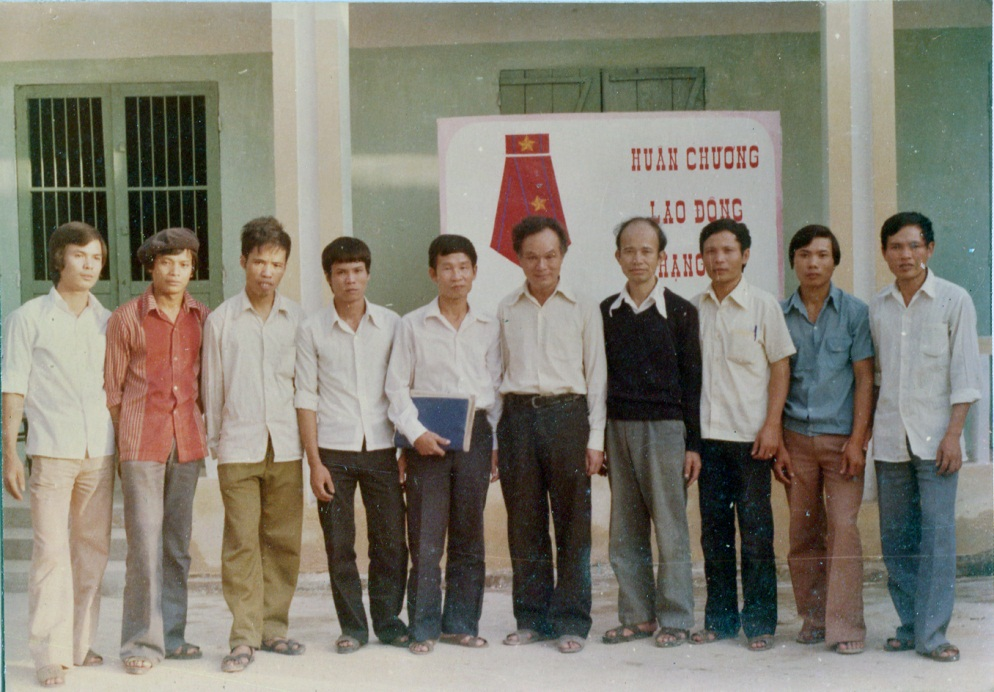
Photo: Federation Chief Nguyen Thien Giao and the delegation received the Labor Medal, Class III in 1984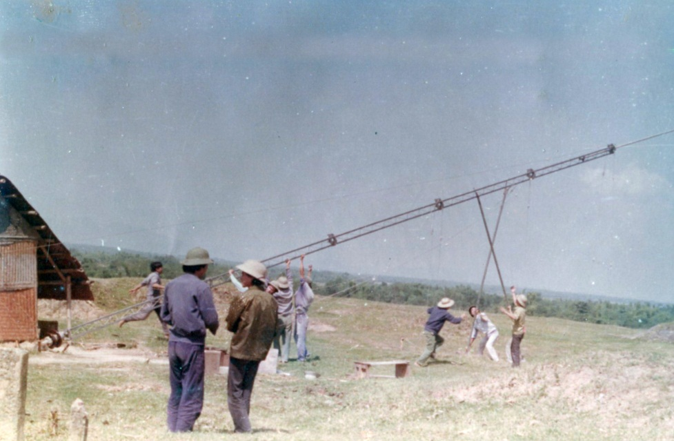 Building Toran broadcasting station to serve survey flight navigation from 1:200,000 Southern provinces – 1986.
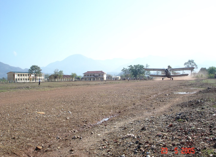
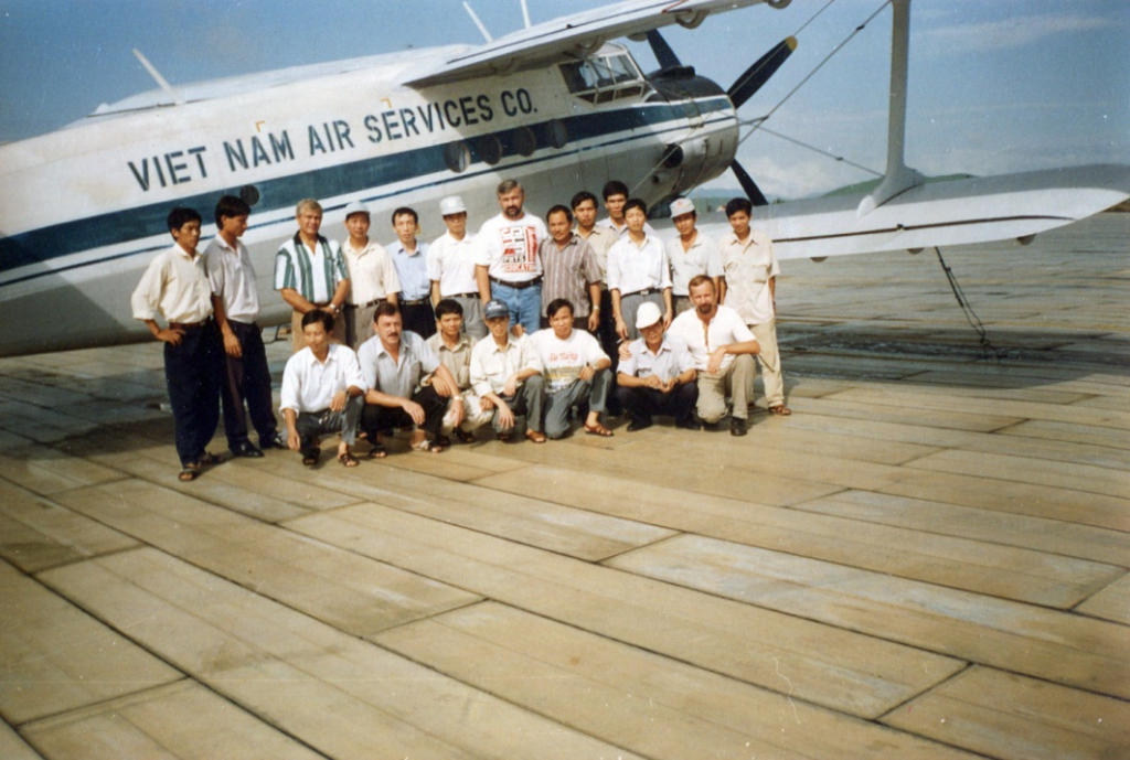 Photo: The flight team carried out the project of Flight measuring from the East Kon Tum gamma spectrum (1995)
 |
 |
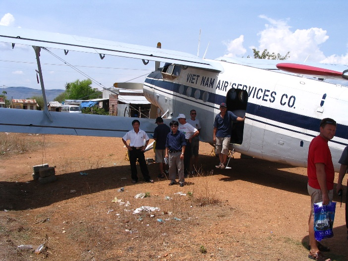
| Photo: AN2 aircraft flying from the gamma spectrum of Phan Rang – Nha Trang project (2005) | |
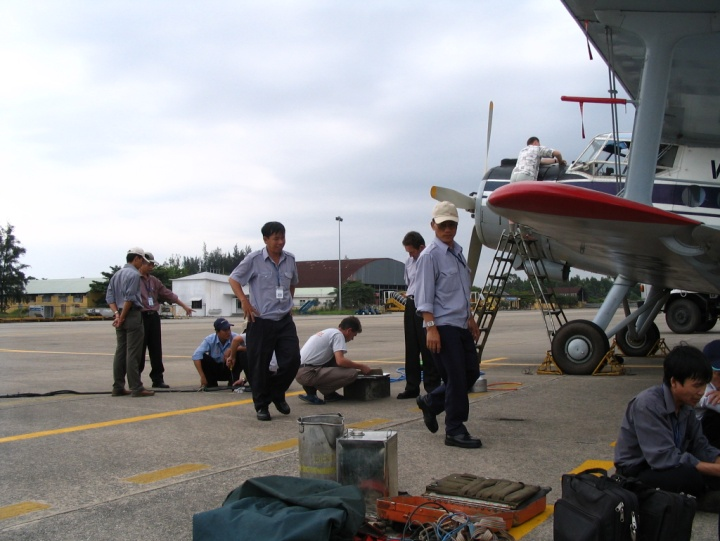 Photo: Preparation before each flight
 |
 |
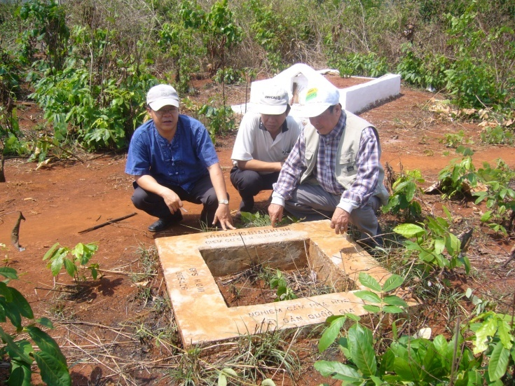
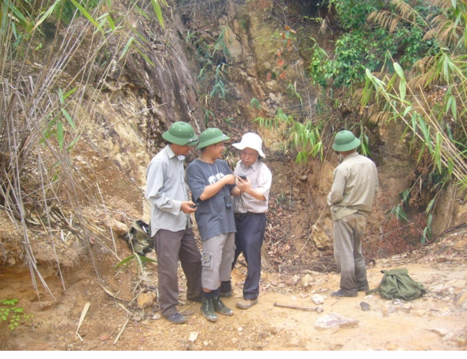
| Photo: The work of finding and determining geodetic landmarks, gravity to make a flight plan for geophysical measurements | |
 |
 |
 |
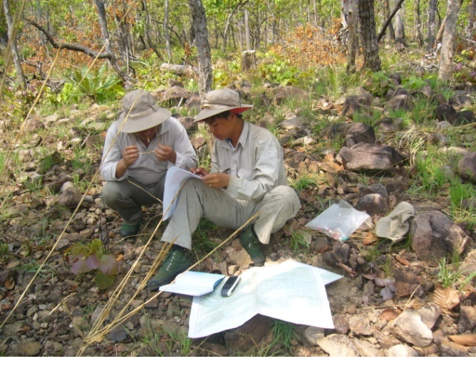 |
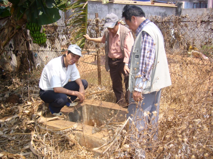
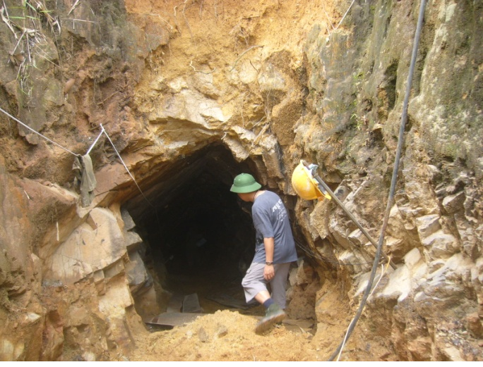
| Photo: Field inspection team of the preliminary inspection of aviation geophysical anomalies | |
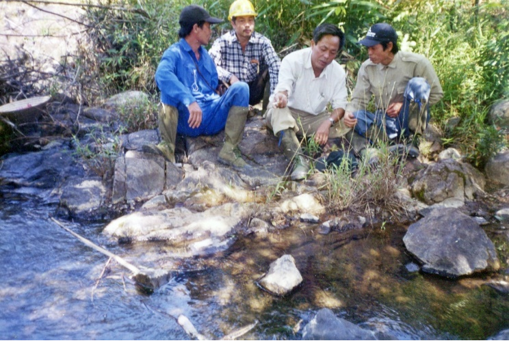
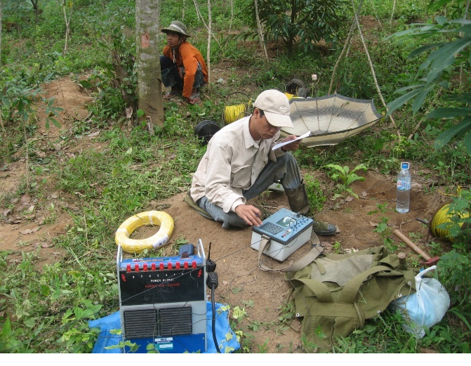 Photo: Measuring the stimulus polarization to check the details of the To Hap anomalous cluster Photo: Measuring the stimulus polarization to check the details of the To Hap anomalous cluster |
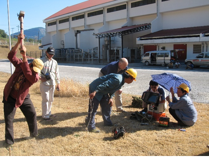 Photo: Seismic survey of hydropower projects in Lao PDR Photo: Seismic survey of hydropower projects in Lao PDR |
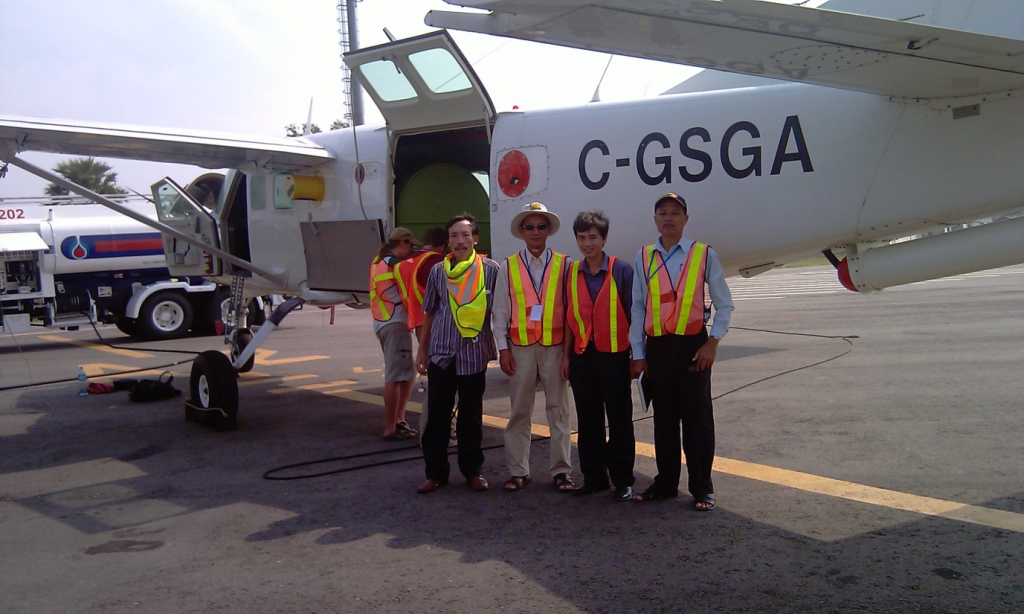 Photo: Team of consulting, designing and supervising the project from high resolution aerogravity in Cambodia (2010)
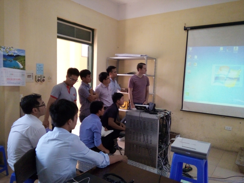 Photo: Canadian experts transfer modern equipment technology from aviation gamma spectrum (2016).
Source: Geophysical Division./.


