
Mr. Nguyen Van Hanh Head of Marine Geophysics Group (2021 – present)

Mr. Lai Ngoc Dung, Deputy Head of the Marine Geophysics Group (2024 – present)
HISTORY BEGIN
The Marine Geophysics Union was established under the Decision No. 455/QD-VLDC dated September 25, 2014 of the Head of the Federation of Geophysics.
Leading officers through the periods:
– Mr. Kieu Huynh Phuong – Head of Marine Geophysics Corps (2014 – 2019)
– Mr. Nguyen Van Sang – Deputy Head of the Marine Geophysical Union (2014 – 2019)
– Mr. Nguyen Van Hanh – Deputy Head of the Marine Geophysical Union (2019 – 2021)
– Mr. Nguyen Van Hanh – Head of the Marine Geophysics Union (2021 – present)
The Marine Geophysics Union under the Federation of Geophysics has the functions, duties and powers specified in the Decision No. 496/QD-DCKS dated May 20, 2025 of the VietNam department of geology and minerals.
Location and function
1. The Marine Geophysical Union is a unit under the Federation of Geophysics, which has the function of organizing the implementation of geophysical investigations to serve the basic investigation of geology, minerals, and environmental geology. field, engineering geology-hydrogeology, geological hazards on Vietnam’s seas and islands; perform public non-business services in geology and minerals in accordance with law.
2. The Marine Geophysics Union has its own seal, is dependent on the Federation of Geophysics, and is allowed to open an account at the Bank in accordance with the law and is headquartered in Hanoi city.
Duties and powers
1. Participate in the development of long-term, medium-term and annual plans of the Federation; geophysical investigation projects and schemes for basic geological and mineral investigation, mineral exploration, environmental geology, engineering geology-hydrogeology, marine geological hazards on the seas and islands of Vietnam; investment and development projects of the Federation.
2. To perform the work items ordered by the State or assigned the tasks assigned by the Federation according to the annual plan of the geophysical surveys in service of the basic geological, mineral and mineral exploration work. production, environmental geology, engineering geology-hydrogeology, geological hazards in the seas and islands of Vietnam.
3. Perform other duties as assigned by the Federation, including:
a) Participating in determining the cost of reimbursement for the use of geological data information, quantifying and accounting for the value of geological resources and minerals in accordance with law.
b) Participate in the implementation of scientific research programs and projects in the field of geology and minerals.
c) Monitoring and synthesizing information, data and data on geophysical investigation in service of basic geological and mineral investigations, mineral exploration, environmental geology, engineering geology- hydrogeology, geological hazards in the sea and islands of Vietnam.
4. Performing geological and mineral-related service activities, including:
a) Organize the construction of work items under the geological and mineral service contracts signed by the Federation and assigned the unit to perform.
b) Performing services on geology and minerals as decentralized or authorized by the Federation Head for: geophysics, geology, minerals, environmental geology, engineering geology – hydrogeology, geological hazards and other services on geology and minerals as prescribed by law.
5. Implement technical processes and regulations in production; carry out the work of occupational safety and hygiene, fire and explosion prevention in the operation of the unit according to regulations.
6. Internal acceptance of tasks and completed work of the unit, submit to the Federation for acceptance on basis the tasks assigned by the Federation.
7. Financial management, property and machinery and equipment assigned by the Federation; Organizational management, employment positions; officials and employees; implementation of administrative reform; practicing thrift, preventing and combating waste; carry out the task of preventing and combating corruption, negativity and regimes and policies in accordance with the State’s regulations and as decentralized by the Head of the Federation.
8. Implement periodical and irregular statistical reports on the performance of assigned tasks.
9. Perform other tasks assigned by the Union Leader.
Organizational structure of the Union
The total number of staff of the Marine Geophysics Union at present is: 20 people, of which 14 are male; 06 female. Master: 04; Engineers: 11; Bachelor: 3; Workers: 2
The organizational structure includes:
1. The leader of the Marine Geophysics Team has a Team Leader and Deputy Leaders. The number of deputy head of the delegation shall comply with the provisions of law.
2. The Team Leader is responsible before the Union Leader and before the law for all activities of the Union and assigned tasks; develop unit rules;
sign professional documents according to their assigned functions and tasks and other documents as authorized by the Federation Head.
3. The Vice-Captain assists the Team Leader and takes responsibility before the Team Leader and law for the field of work assigned by the Team Leader.
4. Officials and employees of the Delegation perform professional tasks as assigned by the Team Leader and are answerable to the Team Leader for their assigned tasks.
Summary of achievements
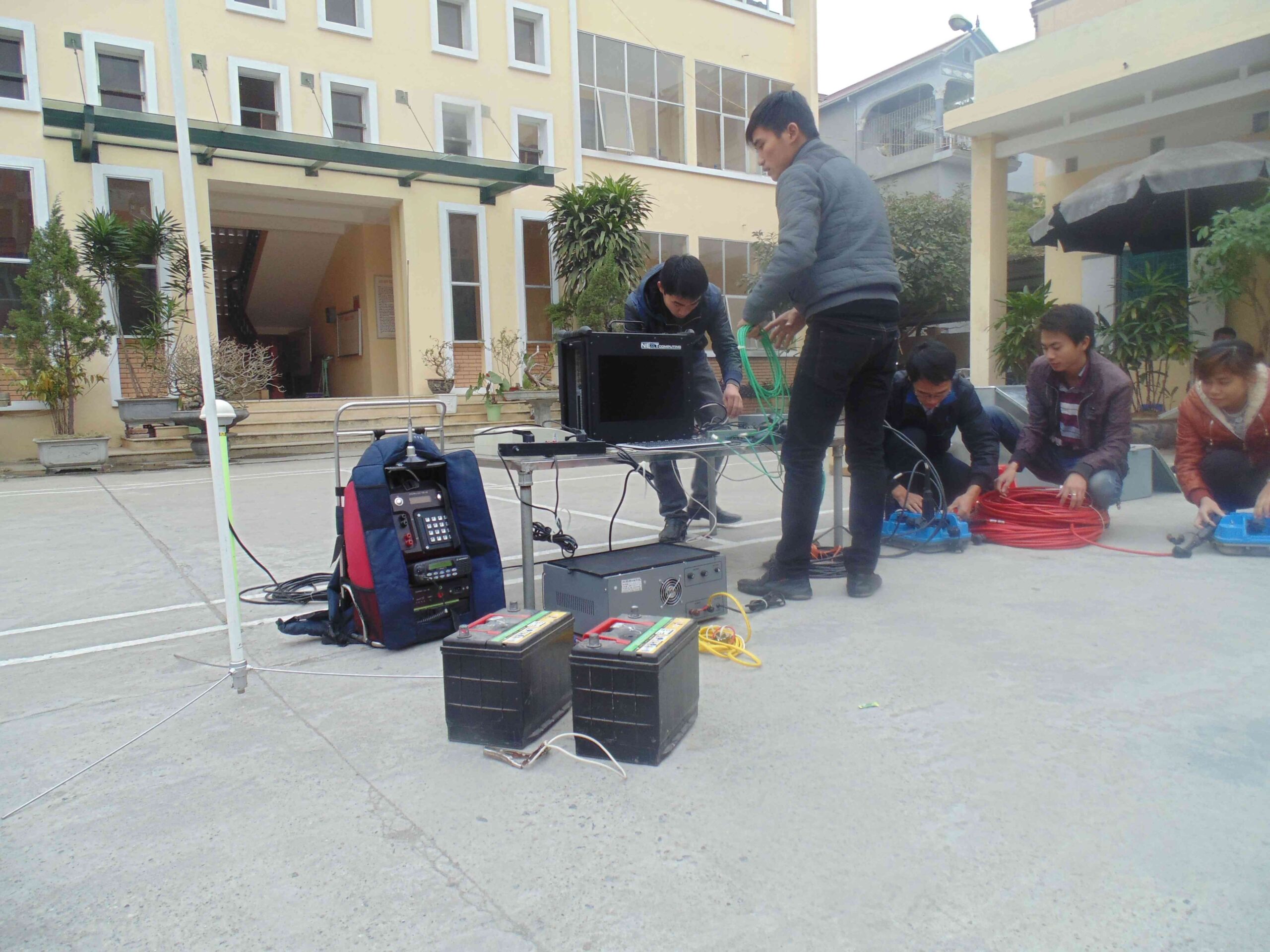
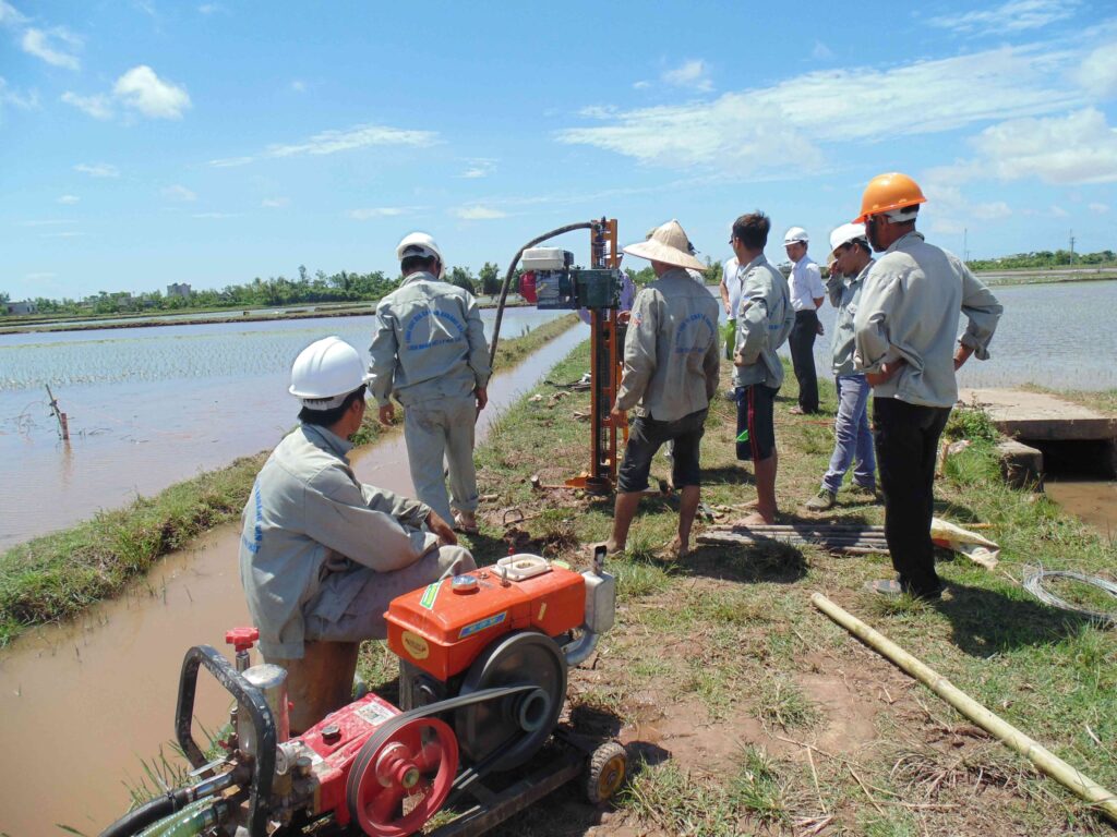
Although the unit was newly established, the organization soon stabilized. Most of the staffs of the unit are still very young, but they are trained from regular universities in the right professions. New and modern geophysical machines and equipment. The main assigned task is the construction of the project “Investigation and assessment of the overall coal resources, the mainland and the Red River basin”. The unit used Sercel’s E428-XL multi-channel seismometer, Robertson’s GEOLOGGING well geophysical meter, collected and exploded hundreds of kilometers of 2D reflector lines, recording thousands of geophysical meters. bore well. The results of the initial collection-explosion and processing-analysis have identified a fault system, structural blocks and coal-containing deposits quite clearly in the Southeast part of the Khoai Chau-Tien Hai relative uplift.
Geological – seismic sections 2D – the results of measurement and analysis of documents performed in the years 2013-2015 are really a reliable basis for geologists to design drilling holes for coal exploration in the basin. spare the Red River.
In addition to the above tasks, the unit also participates in the implementation of the project “Investigation and assessment of geological structure characteristics, engineering geology, propose solutions to exploit, use the territory, serve the construction and development of coastal infrastructure in Vietnam”; actively participate in the field of scientific and technological research. Every year, the unit seeks and performs many service production contracts to create jobs and increase incomes for employees.
The Marine Geophysical Union is the unit performing the tasks with the largest annual output of the Federation, and is also the unit with the highest employee income in the whole Federation. In addition to production work, the unit is home to the youth union movement and leading literary activities in the whole Federation. The unit has been awarded many noble titles to individuals and groups by superiors in 2014, 2015, 2016, 2017, 2018, 2019, 2020.
Tasks that have been and are being performed:
– Project “Investigation and assessment of the overall coal resources, the mainland, the Red River basin”.
– Project “Investigate and evaluate features of geological structure, engineering geology, propose solutions to exploit and use the territory, serving the construction and development of infrastructure in Vietnam’s coastal strip” .
– Project “Investigation of mineral geology, geological hazards, and geological environment at a scale of 1:100,000 sea areas of 0 – 30m water from Hai Phong to Nga Son, Thanh Hoa”.
– Project “Investigate and evaluate features of geological structure, engineering geology, propose solutions to exploit and use territory for construction and development of coastal infrastructure in Vietnam”.
– Project “Mineral resources assessment, serving sand exploitation, meeting the needs of filling highway projects and traffic and urban infrastructure in the Mekong Delta”
– Project “Investigation, assessment and establishment of a set of maps of toxic mineral environment in Vietnam territory (mainland part – Phase I)
– Project “Investigation and overall assessment of strategic mineral potential in Vietnam’s territory (mainland) and exploration of some prospective areas” (phase I)
– Task “Building economic and technical norms for multi-channel reflection seismic measurement at sea, in basic geological survey of minerals and mineral exploration”
– Ministry-level Science and Technology Project: code TNMT.2018.03.16 “Study, select and apply seismic properties to process and explain coal identification in Song Ba basin” (2018 – 2021) .
– Ministry-level Science and Technology Project: code ĐĐL.2021.04 “Research on building 3D geological – physical models of Kien Xuong – Tien Hai coal-bearing structures, Song Hong coal basin” (2021 – 2022).
– Ministry-level Science and Technology Project: code TNMT.2023.02.32 “Research on developing geophysical technical standards in assessing geological and mineral resources in lake, river and sea areas” (2023 – 2025)
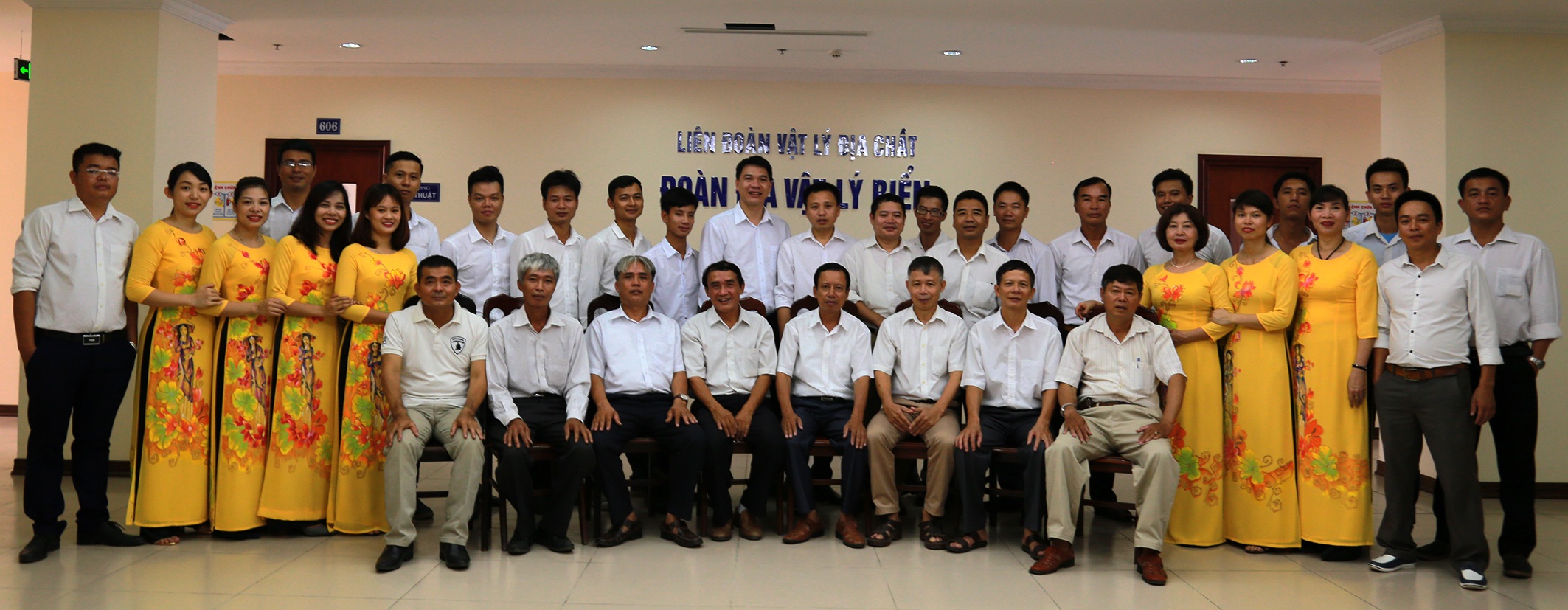
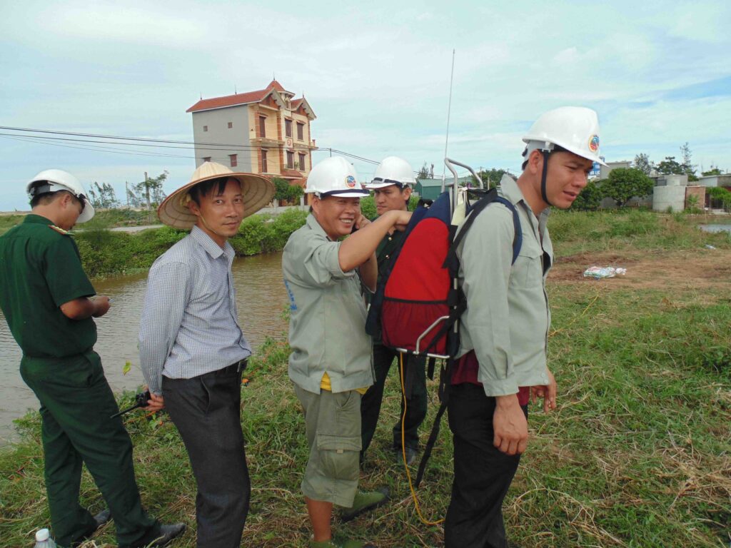
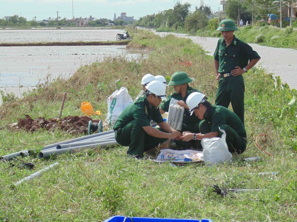
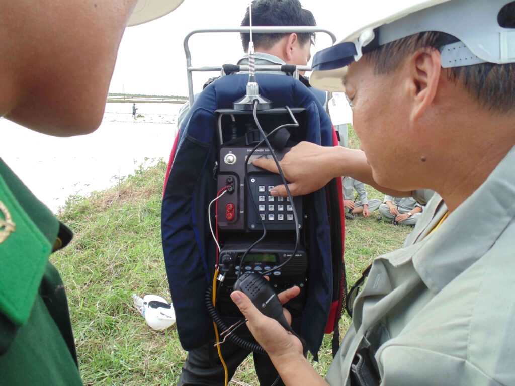
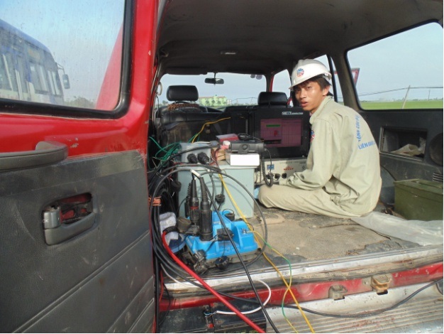
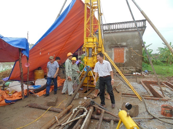
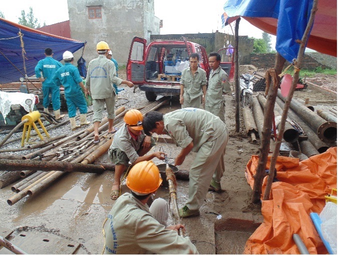
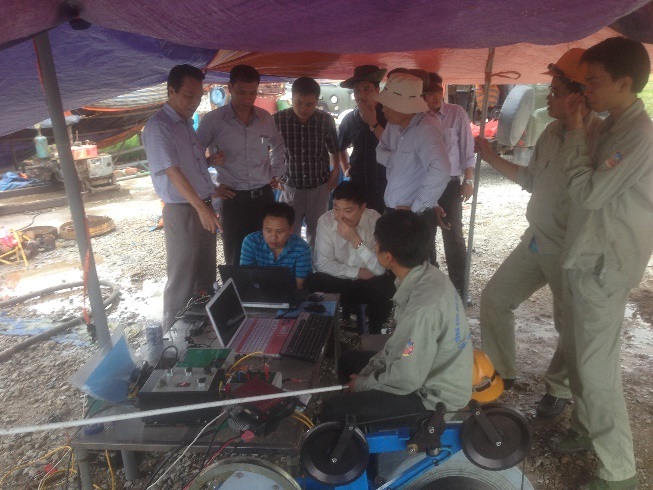
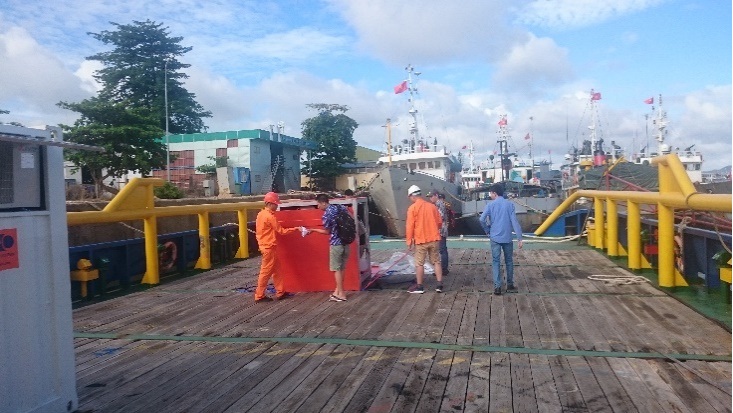
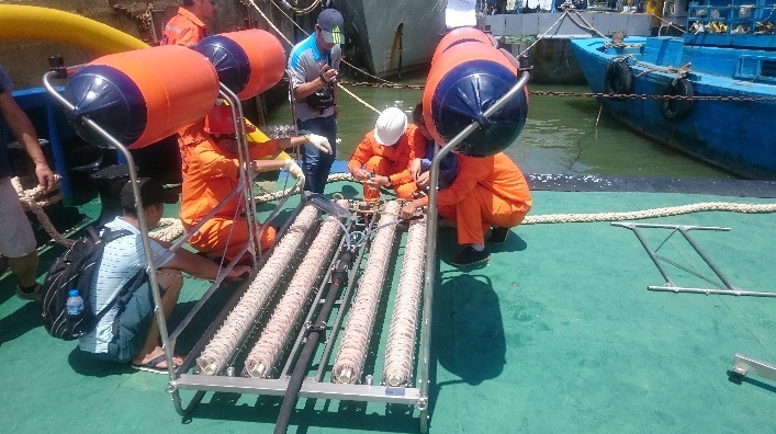
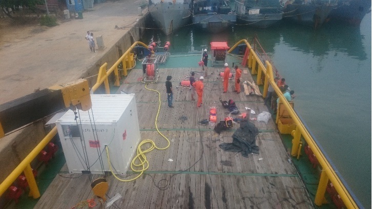
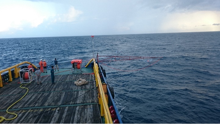
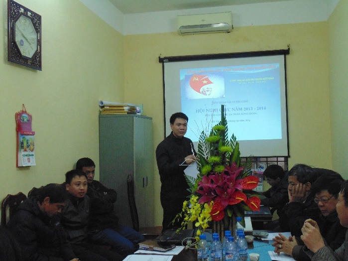
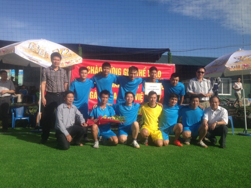
SOME PICTURES OF ACTIVITIES OF THE SEA GEOGRAPHY GROUP
Source: Geophysical Division./.


