
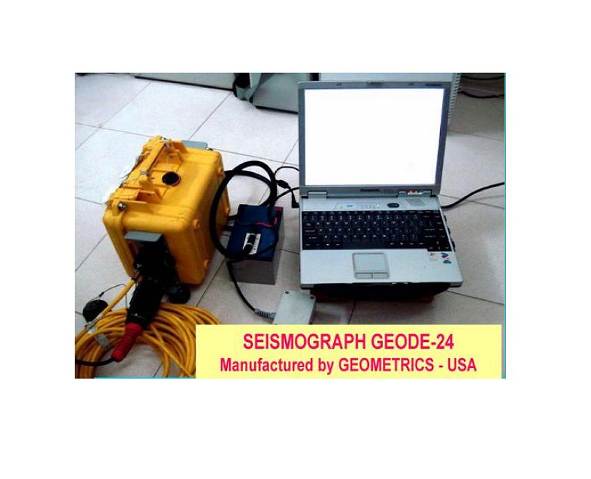
GEODE EXPLORATION SEISMOGRAPH
1. Functions: Onshore Seismic measurement for basic geological investigation, engineering geology and geological hazard.
2. Manufactured by: GEOMETRICS COMPANY – USA.
3. Year of production: 2006.
4. Webiste: https://www.geometrics.com.
5. SPECIFICATIONS
Confgurations: 24 channels in weatherproof feld-deployable Geode module. Geode is operated from either Windows XP/7/10-based laptop or by Geometrics’ ruggedized StrataVisor NZ.
A/D Conversion: 24-bit
Dynamic Range: 144 dB (system), 110 dB (instantaneous, measured)
at 2 ms, 24 dB.
Distortion: 0.0005% @ 2 ms, 1.75 to 208 Hz.
Bandwidth: 1.75 Hz to 20 kHz. 0.6 and DC low frequency option available.
Common Mode Rejection: > 100 dB at <= 100 Hz, 36 dB.
Crosstalk: -125 dB at 23.5 Hz, 24 dB, 2 ms.
Noise Floor: 0.20 µV, RFI at 2 ms, 36 dB, 1.75 to 208 Hz.
Stacking Trigger Accuracy: 1/32 of sample interval.
Maximum Input Signal: 2.8 V PP, 0 dB.
Input Impedance: 20 kOhm, 0.02 µf.
Preamplifer Gains: Standard factory confguration is 24 and 36 dB. Optional confgurations include 12 and 24 dB or 0 dB.
Acquisition and Display Filters:
Low Cut: OUT, 10, 15, 25, 35, 50, 70, 100, 140, 200, 280, 400 Hz, 24 or 48 dB.
High Cut: OUT, 32, 64, 125, 250, 500 or 1000 Hz, 24 or 48 dB/octave.
Sample Interval: 0.02, 0.03125, 0.0625, 0.125, 0.25, 0.5, 1.0, 2.0, 4.0, 8.0, 16.0 ms.
Record Length: 16,384 samples standard, 65,536 samples optional.
Pre-trigger Data: Up to full record length.
Delay: Full record length to +100 sec.
Data Transmission: Uses Ethernet transmission standard over CAT-5 copper or multimode fber-optic cable. Distance between boxes: CAT 5 cable up to 0.25 km; fber-optic cable up to 1.5 km.
Auxiliary Channels: All Geode channels can be programmed as either AUX or DATA.
Instrument Tests: Optional analog testing available. Measure noise, crosstalk, CMR, dynamic range.
Data Formats: SEG-2 standard. SEG-D and SEG-Y available as options.
System Software: Basic operating software includes full compliment
of acquisition, display, plotting, fltering and storage features. Numerous
optional features available; see SCS data sheet.
Bundled Applications Software: SeisImager/2D
Data Storage: Stores data locally in SEG-2 on laptop/PC media. Drivers
available for tape/disk storage in SEG-2/D/Y.
Power: 12V DC
Environmental: Operates from -50ºC to +70ºC (-58ºF to +158ºF).
Waterproof.
Physical: L: 25.4 cm; W: 30.5 cm; H: 17.75 cm; Weight: 3.6 kg (10x12x7 in;
8 lb). Uses waterproof Bendix 61-pin connector for geophone input.
Operating System: Windows XP/7/10.
6. Some projects, used seismograph GEODE by the Geophysical Division:
– Government Project: “Investigation, overall assessment geological and engineering geological features to propose solutions for territorial exploitation and using for construction and development infrastructure of Vietnam’s coastal strip”;
– Investigation of engineering geology for building Ninh Thuan 1 Nuclear Power Plant;
– Investigate engineering geology for the construction of the Xe Kha Man 1 and 2 hydroelectric dams in the Lao People’s Democratic Republic;
– Investigation of engineering geology for building the National Assembly House in Hanoi.
And many other works.
Source: Geophysical Division./.


