
GEOPHYSICAL DIVISION
50 YEARS OF CONSTRUCTION AND DEVELOPMENT

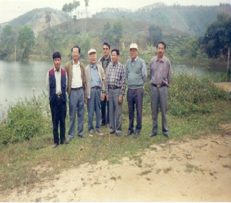
During the 50 years of construction and development, the Geophysical division has overcome all difficulties, united by consensus, constantly strived and developed in all fields of work, achieved many results in production and research , has made worthy contributions to the geological investigation and mineral assessment of our country. The prominent areas of work of the Geophysical Division are
1. Aeronautical Geophysics Work
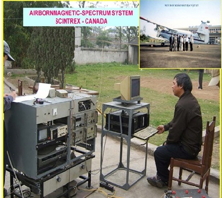
Aviation geophysics has been applied in Vietnam since 1961. In 1964, the aerial survey flight at the scale of 1:200,000 was completed throughout the North of Vietnam. In 1983-1992, the flight was completed and linked with documents from the southern part of Vietnam’s aviation to create a map of the Vietnamese aviation field at the scale of 1:500,000 (1995). This map was edited and published at a scale of 1:1,000,000 in 1998, it is valuable not only for geological, mineral, environmental geology, geological hazards, etc. but also for many other fields such as communications, security and defense…
Since 1982, began to apply flight technology to measure the combination of magneto-gamma spectroscopy for geological mapping and mineral search at the scale 1:25,000 and 1:50,000. To date, 18 flight projects from the gamma spectrum at 1:25,000 and 1:50,000 scale have been completed over an area of more than 95,000 square kilometers. The measurement results have collected data to establish field maps (magnetic field, gamma radiation field, field of radioactive elements K, U, Th). Thanks to the application of new processing technology, these data are then further processed – analyzed to establish geological structure maps, zoning maps to forecast mineral prospects according to geophysical documents. .
The geophysical flight technology of the Geophysical Division has been constantly innovating over the years. Before 1989, data was collected using analog recording technology, flight navigation was done by taking photos and videos, and data processing and display of results were completely manual. From 1996 up to now, the above steps are all done digitally, always updated with world technology of the same period.
The results of the geophysical measurement flight, through the ground test, have detected many promising mineral areas for transfer of search and exploration. Many important mines have been discovered: Thach Khe iron (Ha Tinh), Na Rua, Na Lung, Boong Quang (Cao Bang); Khe Hoa – Khe Cao uranium (Quang Nam); fluorite Xuan Lanh (Phu Yen); gold (Son Hoa, Xa Lat, Xuan Son, Tra Bu, So Tang, Tay Hue…); magnesite Kong Queng, So Ro (Gia Lai), iron and copper-nickel in That Khe (Cao Bang), iron and lead-zinc in Cho Don (Bac Kan), Thuong Giap (Tuyen Quang); Phan Thanh field (Cao Bang) and many coastal ilmenite placer mines.
Currently, with new processing and analysis technology, the Federation of Geophysics is exploiting and improving the existing geophysical flight data, synthesizing with geological and mineral data on many structural zones – mineralogy in Vietnam. As a result, more potential areas of endogenous minerals have been identified and forecasted. When inspecting the ground, many new valuable mineral sites were discovered such as gold in Khe Mang (Ha Tinh), Khe Nang (Quang Binh), A Ngo (West Hue), Tra Doc (Quang Nam), Tien Cam (Quang Nam), Quang Ngai)….
 |
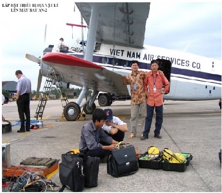 |
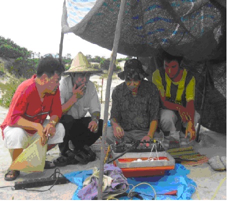
| Test the machine before the measuring flight. | Prepare for a survey flight. |
 |
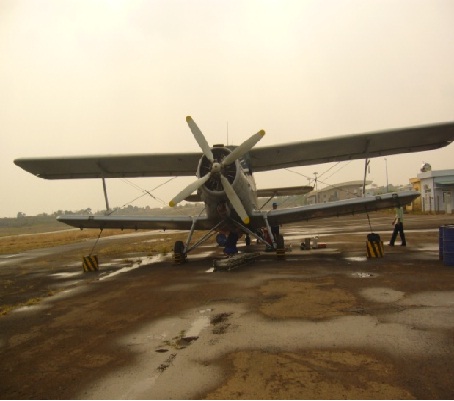 |
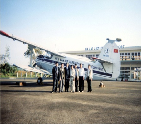
| Geophysics Flight Team | AN2 aircraft flying geophysical measurements |
 |
 |
Photo processing documents aeronautical geophysics
From 2017, the Federation of Geophysics and Geophysics will carry out a number of important survey projects, with research objects, geological and topographical conditions and technology – instrumentation much different than before. can:
On land
- The project “Flying from the gamma and gravity spectrum in Lao Cai – Yen Bai at the scale of 1:50,000 -1:25,000” on an area of 7360 km2, covers most of the Tu Le structural zone with very mineral potential.
- The project “Magnetic flight, gamma spectrum and gravity in the Northwest”, includes the following contents:
+ Magnetic flight, gravity scale 1:200,000 on an area of 14,500 km2, covering most of the “blank data” of the Vietnam magnetic field map at the scale of 1:500,000;
+ Magnetic – gamma spectrometer scale 1:25,000 and gravimetric flight 1:50,000 scale over an area of 13,600 km2, belonging to a part of the Song Ma suture zone and the entire Cam Thuy convex complex.
On the sea and the island
- The project “Flying magnetic and gravity scale 1:250,000 Vietnam’s seas and islands” with the goal of mapping geological structures, identifying potential mineral areas, supplementing the important database. national force, contributing to the establishment of scientific arguments for national security and defense and national sovereignty, sustainable socio-economic development in the coastal areas, islands and seas of Vietnam.
- 2. The work of measuring and drawing the gravity of the ground
Measurement of ground gravity at the scale of 1:500,000 has been carried out in the North of Vietnam since the early 60s of the last century.
In 1975, the South was completely liberated, the Federation of Geophysics and Geophysics was assigned the task of measuring and drawing up a gravity map of 1:500,000 scale of South Vietnam. From those two sources, a gravity map of the whole territory of Vietnam was established at the scale of 1:500,000 in 1985. In 2011, the Geological Physics Federation was assigned the task of additionally measuring the “empty areas”, combined gravity material at scale 1:100.000 – 1:50,000, complete gravity map at 1:500,000 scale and edited for publication.
Since the early 90s of the last century, the scale 1:50,000 and 1:100,000 gravimetric measurements have been widely applied, in combination with the aeronautical gamma spectrum measurement method, for mapping and mapping purposes. Geological map and mineral search in groups of 1:50,000 and 1:25,000 sheets. Gravity data has provided a lot of useful information about structure, fault, magma to support geological structure mapping, deep structure-tectonic research, and detect and classify hidden magma blocks. as a premise to search for minerals; detect and determine the structural parameters of the fault systems, the characteristic parameters of the transformation zones related to minerals. Up to now, the whole territory of Vietnam has 27 areas measured by gravity at the scale of 1:100,000 to 1:50,000 with a total area of approximately 85,000 km2..
 |
 |
|
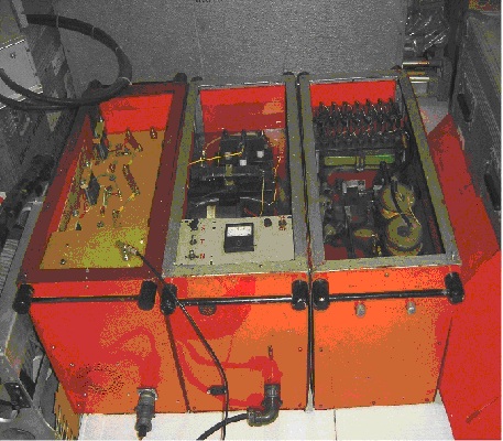
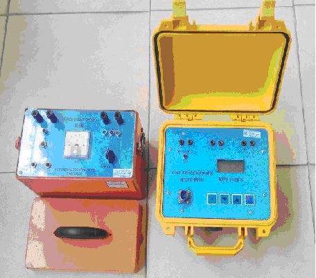
| Gravity machine calibration before production deployment | ||
 |
 |
|
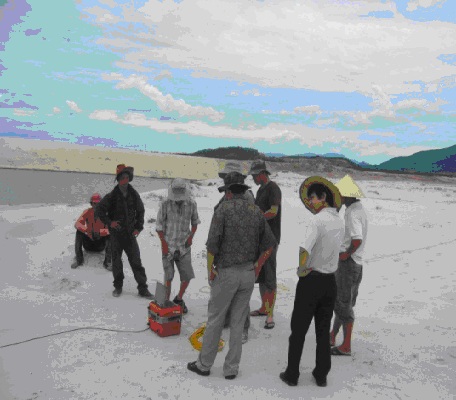
Work inspection gravity measurement South Pleiku Flight Project
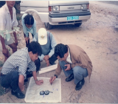
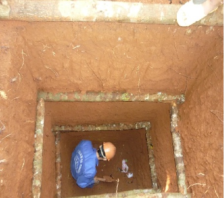
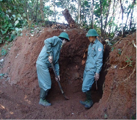
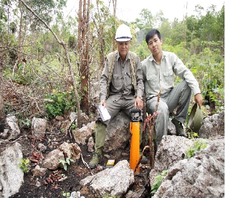
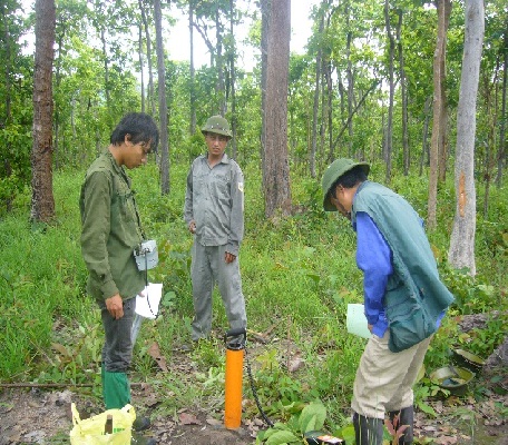
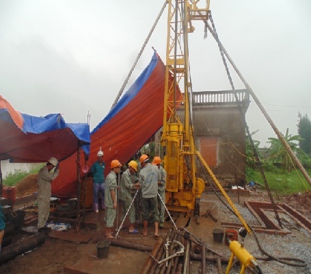
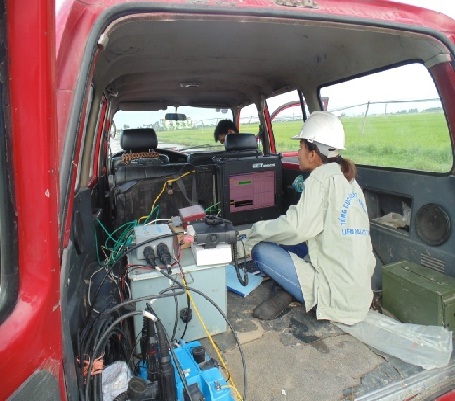
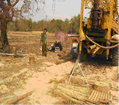
3. Geophysical survey of the ground
Prior to 2000, the Geophysical Division performed ground geophysical work primarily to examine aeronautical geophysical anomalies.
Since 2002, with the successes achieved in the inspection of aeronautical geophysical anomalies, the Federation of Geophysics has been assigned by the General Department of Geology and Minerals of Vietnam to directly investigate and evaluate a number of types of geophysics. mineral formations, especially those that are “sensitive” to geophysical methods (ferromagnetic, conductive metals, radioactive metals, containing radioactivity) or developed by the Federation of Geophysics present in the process of processing and analyzing aeronautical flight data, such as magnesite, wolastonite, iron, copper, nickel, gold, … Specifically:
2002-2004: Assessment of magnesite prospect in Kong Queng area, KonChro district, Gia Lai province;
2006-2009: Evaluation of magnesite potential in West Kong Queng area, Konchro district, Gia Lai province;
2003-2005: Detailed inspection and examination of anomalous bands from Cao Bang-That Khe area to search for and detect iron, copper, and nickel ores (rejected because other projects did not mention or stated that they had been discovered.. .in other schemes);
2006-2009: Inspecting and examining in detail anomalous bands from aviation in Thuong Giap area, Tuyen Quang province;
2013-present: Investigate and evaluate the overall potential of magnesite, dolomite and wolastonite in Tay Soró region, KonChro district, Gia Lai province;
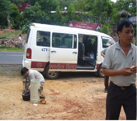
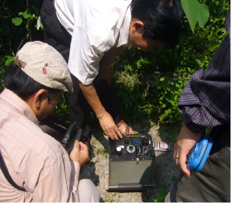
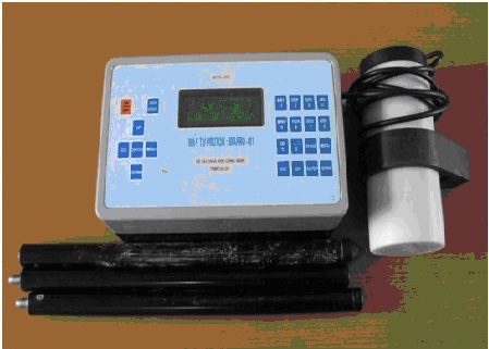
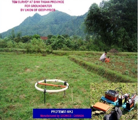 . Measure electromagnetic depth with Protem-57. . Measure electromagnetic depth with Protem-57. |
 Measure the depth of excitation polarization with an Elrecpro instrument. Measure the depth of excitation polarization with an Elrecpro instrument. |
 |
 |
| Field inspection of ground geophysical work | |
 |
 |
| Field construction of the project Bauxite – Laterit Central Highlands | |
 |
 |
| Thi công thực địa dự án magnesit – wolastonit Tây Sro | |
 |
 |
 |
 |
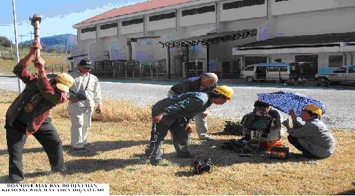
Field work Preliminary anomaly inspection Aeronautical geophysics
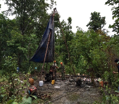
Since 2013, the Geophysical Union has been assigned the task of applying a reasonable combination of geophysical methods (2D seismometry, VSP and carota) to study the geological structure controlling coal aquifers, restore Investigation and assessment of coal resources potential in the Red River Delta with a research depth of over 2500m.
The federation used Sercel’s multi-channel E428-XL seismometer, Robertson’s GEOLOGGING well geophysical meter, to capture and explode hundreds of kilometers of 2D reflector lines, recording thousands of meters of geophysics. bore well. The results of the initial collection-explosion and processing-analysis have identified a fault system, structural blocks and coal-containing deposits quite clearly in the Southeast part of the Khoai Chau-Tien Hai relative uplift.
The 2D geological-seismic sections – the results of measurement and analysis of documents performed in the years 2013-2015 are really a reliable basis for geologists to design coal exploration drilling holes in the area. research area.
 |
 |
 |
 |
Construction on site Project: ” Investigation, general assessment of the Red River coal basin”
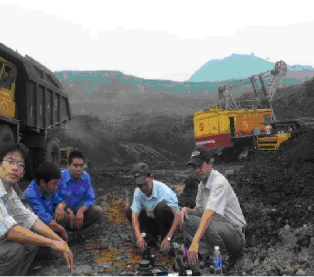
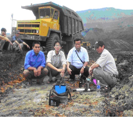
With prestige and experience in ground geophysical survey, in recent years, many foreign companies have cooperated with Federation of Geophysics in mineral prospecting, such as: Alvil Company (Australia) ) – search for copper – gold in Duc Phu (Quang Nam); Bong Mieu Gold Company (Vietnam – Australia Joint Venture) – search, evaluate gold in Bong Mieu mine; Company Leader Resourses LTD. (Australia) – search, evaluate lead-zinc ore in Na Tum (Bac Kan); TPJ Company (UK) – search, evaluate gold in Lai Chau; Exploration of potash salt in Nong Book, Kham Muon province, Lao PDR.
 Borehole geophysical measurement Borehole geophysical measurement |
 Blasting seismic measurement along the borehole wall Blasting seismic measurement along the borehole wall |
Seismology and salt mine research carota in NoongBook, Lao PDR
4. Marine geophysics work
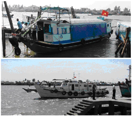
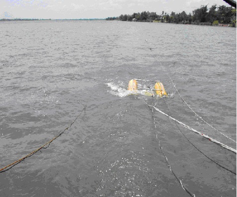
The Geophysical Division was one of the first to conduct marine geophysical research. The marine geophysical survey has been carried out since 1991 in the shallow sea of Ham Tan (Binh Thuan) with the funding of CCOP, on an area of 1,200 km2 with 900 km of geophysical survey routes.
In 5 years (1993-1997) surveyed on an area of 52,000 km2 (16,000 km of geophysical lines) at the scale of 1/50,000 along the coast at a depth of 0-30 m, from Mong Cai to Da Nang and from Ha Tien to Ca Mau. The applied method system includes: high-resolution continuous shallow-reflected seismographs, sea-magnetic measurements, and reverberation depth measurements.
The marine geophysical documents (seismic, magnetic field, seabed depth measurement…) have provided valuable information to clarify the structure in Quaternary sediments, the characteristics of unassembled sediment layers in the Quaternary sediments. Quaternary; distribution of Quaternary and magmatic sediments, fault systems and potential areas for placer traps. These documents have made an important contribution to the geological investigation and the search for solid minerals in the shallow coastal waters of Vietnam.
From 2017, the Geophysical Union will execute the marine geophysics part of a number of projects:
The project “Investigate and evaluate the characteristics of geological structures, engineering geology, propose solutions to exploit and use the territory, serving the construction and development of infrastructure in the coastal strip of Vietnam”.
Project “Investigation of mineral geology, geological hazards, geological environment at the scale of 1:100,000 sea area 0 – 30m water from Hai Phong to Nga Son, Thanh Hoa”. In this project, for the first time, measuring reflected seismic will use a combination of multi-channel marine seismometers from the United States with the ability to study 700 to 1000 meters deep of the seabed.
 |
 |
 |
|
| Đo địa chấn phản xạ phân giải cao đơn kênh trên biển | |
 Kiểm tra thực địa đo Địa vật lý biển Kiểm tra thực địa đo Địa vật lý biển |
|
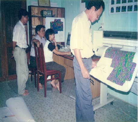
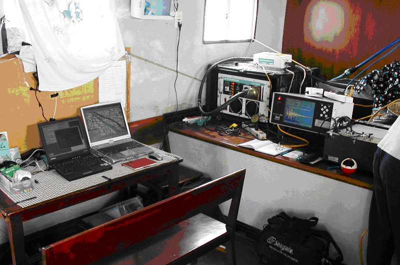
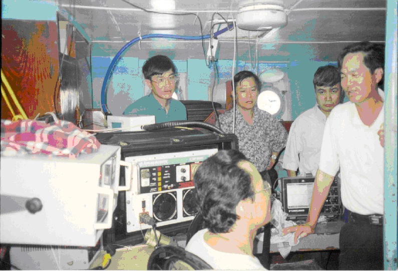
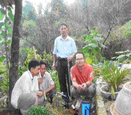
5. Scientific research and technological development
Since the early 70s, the Federation of Geophysics has been interested in the problem of document processing by mathematical and statistical tools, such as applied research on Bayerst algorithms, information theory, and statistical probability theory. , … in word document analysis, gravity. Experimenting with some new methods in geological conditions in Vietnam, such as applying electromagnetic induction method with the assembly of DCT-1 (1976), applying radio wave projection method with borehole wave projector (1976), etc.
The Geophysicam Division also focuses on research and development of the processing, analysis and interpretation of geophysical documents at a high level according to a reasonable and rigorous technological process in combination with the use of specialized programs. processing and analyzing new, powerful, to exploit more thoroughly geophysical information to clarify the geological structure of the territory and evaluate the prospect of hidden and deep minerals.
 |
 |
Field construction Scientific research topic
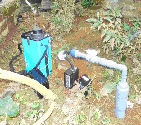
The Geophysical Division has also focused on researching, repairing and manufacturing machines and equipment Geophysics for basic investigation and mineral exploration. Built machines: high-resolution shallow-sea seismic transceivers, ground-based electromagnetic, radiological and electrical detectors.
 Energy accumulator Energy accumulator |
 Boomer player Boomer player |
|
 Sparker player Sparker player |
 Data Logger Data Logger |
|
| High-resolution Shallow Seismic Movement made by Research Federation.
|
||
 Magnetic meter from the ground Magnetic meter from the ground |
 Electric Probe Electric Probe |
|
 Road dosimeter Road dosimeter |
.
|
|
Some geophysical machines are products of scientific and technological research conducted by the Federation
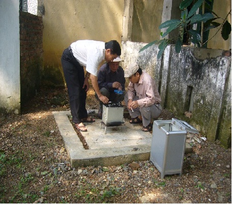
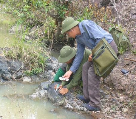
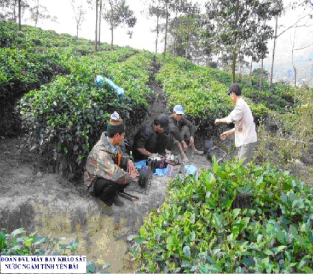
6. The work of applying geophysics in hydrogeological investigation – engineering geology, environmental research and geological hazards
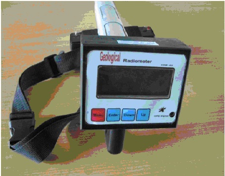
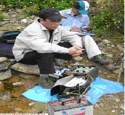
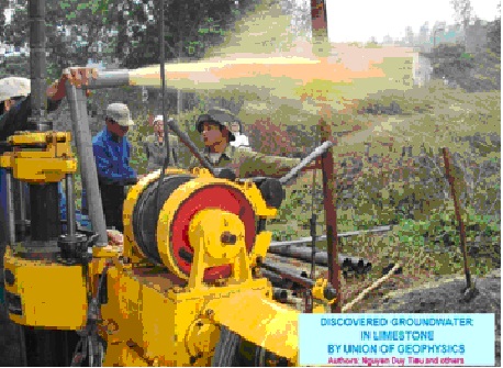
Finding groundwater at great depths is a strength of geophysical methods. The Federation of Geophysics and Geophysics has effectively performed the tasks of investigating and assessing groundwater resources for many provinces with special difficulties in the Northern mountainous region and the Central Highlands.
 |
 |
 |
 |
Geophysics and drilling for groundwater searching Yen Bai province ( 2006 )
Since 1992, the Federation of Geophysics has established a department specializing in environmental geophysics to meet the requirements of environmental investigation and research. Environmental geophysical surveys have been carried out for most of Vietnam’s urban areas and on some islands.
 |
 |
 |
 |
Measure Environmental Geophysics mine environmental investigation Lao Cai Apatite
The geophysical Division has surveyed engineering geology for many economic fields such as:
Geological survey of hydropower projects, including important national projects such as Song Da hydropower plant (1972); A Vuong hydropower plant (2002); Dak Mi hydropower plant (Quang Nam, 2002); Sekaman III hydropower plant – Lao PDR (2003) …
 |
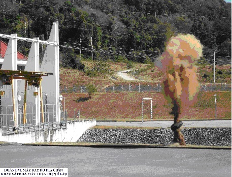 |
Surveying Additional survey of hydroelectric power plantsin Lao PDR
Surveying the foundation of traffic and construction works for many projects, including important projects such as But Son cement factory (1988); New Hai Phong Cement Plant; Ninh Thuan nuclear power plant; Vung Ang industrial park, Dung Quat port area (Quang Ngai); Doc Xay tunnel (National Highway 1A); A Roong tunnel (Ho Chi Minh road); Deo Ngang road tunnel (Ha Tinh – Quang Binh); Hon Tre cable car project (Nha Trang, 2007); etc.
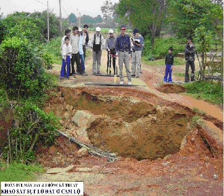
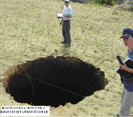
Geological hazard survey work is also focused, promptly deployed when information is available and requested by the local authority or assigned by the superior. The results have evaluated and forecasted areas that may be subject to further subsidence so that localities where there is land subsidence have plans to evacuate people and warn them, such as: subsidence along the banks of the Hieu – Cam Lo river (2006). , subsidence in Thien Ke commune, Binh Xuyen district – Vinh Phuc (2016), subsidence in Cho Don – Bac Can (2016).
 |
 |
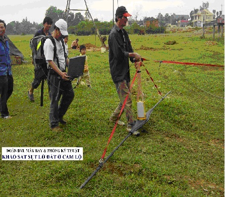 |
Some images of ground-penetrating radar measurement for subsidence survey in Cam Lo – Quang Tri (2006) |
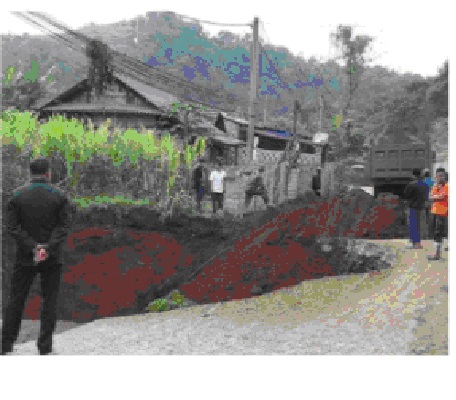 Survey images of subsidence in Cho Don – Bac Can (2016) Survey images of subsidence in Cho Don – Bac Can (2016) |
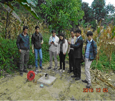 Image of static water level monitoring to determine the cause of subsidence in Cho Don – Bac Can (2016) Image of static water level monitoring to determine the cause of subsidence in Cho Don – Bac Can (2016) |
Some typical results
Since its establishment in 1967, the Geophysical division has been assigned by the State to implement more than 300 projects, production reports and scientific research with territorial scale, survey rate and industrial complex. different recording technology.
According to the size of the territory, the rate of research, the above projects and reports can be classified into groups of tasks:
I. Small scale area geophysical research and investigation (<1:1,000,000 – 1:500,000);
II. Researching and investigating the area’s geophysics at the average rate (1:250,000 – 1:200,000);
III. Research and investigate the area geophysics at a large scale (1:100,000 – 1:25,000);
IV. Geophysical investigation, assessment, exploration (>1:25,000).
According to the technology and location of the recording, it can be divided into groups of geophysical methods: aeronautical, marine, terrestrial
According to the main investigation purpose, the service subjects can be divided into groups of geophysical methods of investigation: geology-minerals, environmental geology, geological hazards.
The products of these projects and reports are currently kept at two facilities: the Center for Geospatial Information and the Library of the Geophysical division.
This is an invaluable source of documents and information that not only has contributed to the cause of geological investigation and mineral search in the past period, but also has long-term meaning and continues to be processed. analysis in order to exploit for research, investigation and assessment of minerals, especially deep minerals in the new period as well as for other fields of the national economy.
The results of the geophysical research investigation small and medium scale areas have yielded a huge amount of data. These data are processed and built into maps according to each element and field composition with different scales. Up to now, most of Vietnam’s territory, on the mainland and in the sea and islands, has been surveyed, measured, and geophysically drawn at the scale of 1: 1,000,000 and in more detail, covering almost the entire area. with high homogeneity. Many sets of maps of geophysical schools and results of geophysical research in the territory of Vietnam have been highly appreciated, such as “field maps from Vietnam, scale 1:500,000 and scale 1:1,000. 000”; “map of Vietnam gravity anomalous field, scale 1:500,000 and scale 1:1,000,000”; “map of soil resistivity of Vietnam at 1:1,000,000 scale”; “Vietnam radioactivity map at the scale of 1:1,000,000”; “the map of Vietnam’s natural radioactive field at the scale of 1:500,000”; “the map of Vietnam’s natural radon at the scale of 1:1,000,000”; etc. are products of scientific and technological research projects, on the basis of existing documents.These maps are gradually forming a set of atlas maps of geophysical fields and basic geophysical parameters. of the territory of Vietnam (the mainland).
The results of area gravimetry and flight measurements from medium- and large-scale gamma spectra have provided a large volume of valuable geophysical data for geological mapping and search. minerals scale 1:50,000 – 1:25,000 and create a geophysical field map database of the corresponding scale. In addition to serving the previous geological mapping work, these documents now also provide a lot of valuable information for mineral investigation and assessment projects for many units such as the project “The comprehensive assessment of the potential of Vietnam’s uranium resources” (Vietnam Institute of Geosciences and Minerals); “Investigation and assessment of Au ore potential in Tam Ky-Phuoc Son zone” (Southern Geological Mapping Federation); etc.
Results of investigation, assessment and exploration of mines and mineral sites by a combination of geophysical and geological methods chaired by the Geophysical Union, or in collaboration with other units the past year has made significant contributions to the search, discovery and improvement of mineral resources for the country: pyrite (Giap Lai); fluorite (Xuan Lanh); gold (Bong Mieu, Tien Ha, Tien Cam, A Ngo, …); iron (Cao Bang); Cu-Ni (Tuyen Quang, Cao Bang); and especially in the project “Investigation and assessment of potential resources of Song Hong low-lying coal”; etc.
The results of the implementation of projects to investigate and evaluate the current state of the radioactive environment with different research scales and rates have provided reliable and scientific arguments to help central management agencies. central and local levels in the socio-economic development planning:
The results of performing engineering geological investigation tasks, assessing geological hazards and proposing remedial solutions with different scales and objects provided objective scientific documents, not only elucidating the causes of subsidence disasters in localities, but also proposing solutions and measures for local authorities at all levels to have plans to respond, overcome, and ensure the safety of human lives. people, stable production, life (Cam Lo, Quang Tri province; Yen Dinh, Thanh Hoa province; …), enterprises (Na Tum mine, Bac Can province; Xuan Mai Expressway Co., Ltd., Hoa Binh province). ; …).
1. Map from Vietnam Airlines (land part) scale 1:1,000,000
Vietnam aviation magnetic field map (land part) at the scale of 1:1,000,000 including two maps: Vietnam aviation magnetic field map (land part) and DTa Vietnam aviation anomaly map ( mainland part). The map dates back to 1990. The document network has an actual drawing scale of 1:500,000. The maps are then edited for publication as digital maps at a scale of 1:1,000,000. The set of maps is published in the form of isoval maps with a cross section of 25 nT.
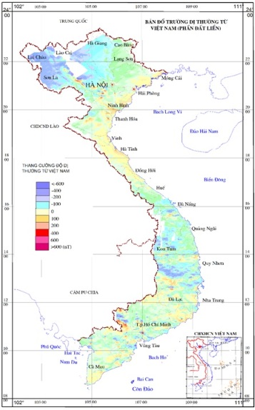
Map Anomalous Field from Vietnam (Part land)
2. Vietnam gravity field map (land part) scale 1: 500,000
The map of Vietnam’s gravity field (the land part) at the scale of 1:500,000 including the following maps: The map of the Bughe gravity anomalous field in Vietnam at the scale of 1:500,000 (the mainland); Layer density between 2.67 g/cm3 and 2.58 g/cm3; Map of Fai anomalous field in Vietnam scale 1:500,000 (land part); Maps established with normal gravity values according to Helmert’s formula (1901-1909) have been calculated according to the new international gravity system (Posdam, 1971), and corrected the terrain according to the Prisivanco method.
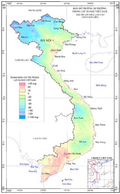
Map of Vietnam bughe gravity anomalous field (land part)
3. Map of resistivity zoning of Vietnam land (land part) scale 1:1,000,000
The map of Vietnam’s soil resistivity zoning map at the scale of 1: 1,000,000 was established from the following sources: Vietnam soil resistivity zoning map set in 1988, electrical depth measurement documents from after 1988 to 2003 was 12,470 points. All measuring points use the Slumbeger symmetric 4-pole system. The map set includes: 6 resistance maps (r1; r2; rbk) and topsoil thickness (h1);
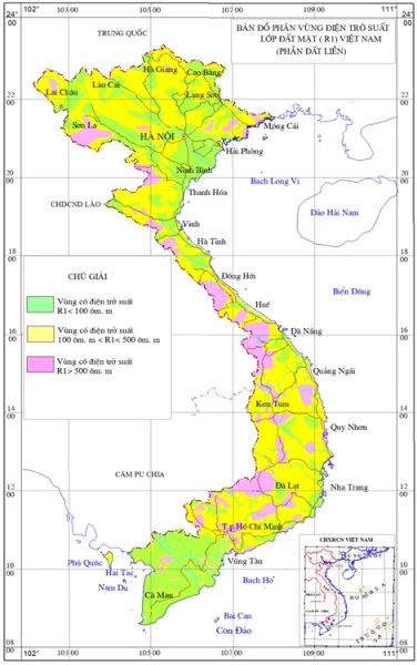
Map of resistivity zoning of top soil layer (R1) Vietnam (land part)
4. Map of radioactive field in Vietnam Vietnam (land part) scale 1:1,000,000
Radioactivity map of Vietnam at the scale of 1: 1,000,000 edited in 2008 on the basis of documents 1994 to 2007. The network of mapping points reached a density (2´2) points/km2. The set of radioactive maps of Vietnam at the scale of 1: 1,000,000 includes three maps: the map of Vietnam’s natural radioactive values, the map of radioactive anomalies in Vietnam, and the map of the radioactive field of Vietnam (map of isotropic with a cross section of 5 mR/h).
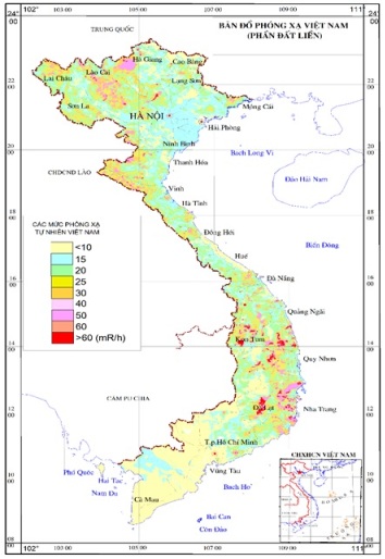
Radioactivity map of Vietnam (land part)
5. Map of natural radiation background of Vietnam at 1:1,000,000 scale (the mainland and some large islands)
This is a set of maps related to geological environment research completed in 2014, including a series of component maps: Natural radon map, natural gamma radiation map and Vietnam natural radiation background rate. rate 1:1,000,000 per unit mSv/year. The maps were established from the results of environmental research projects and additional measurements reached a network (4-10)x10 km2/point.
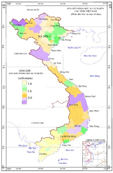
Map of natural radiation background of Vietnamese provinces (inland part)
6. Airplane gamma spectral magnetic field maps
From 1982 up to now, flight measurement of aircraft gamma spectral field at the ratio 1:50,000-1:25,000 has been carried out under 18 separate projects with a total area of 94,791 km2. The above area covers almost the whole area from Hue to Phan Rang – Da Lat. The flight network follows the route of 250-500 m/route, the flight altitude is <100 m.
The obtained field maps include:
– Magnetic field map T scale 1:50,000-1:25,000;
– Anomalous field map from DTa scale 1:50,000-1:25,000;
– Uranium content map at scale 1:50,000-1:25,000;
– Map of thorium content at scale 1:50,000-1:25,000;
– Potassium content map at scale 1:50,000-1:25,000;
– Radiation intensity map at scale 1:50,000-1:25,000.
The magnetic, gravity and radiological field maps have a data network at the scale of 1:500,000. Digitized maps store information: location and measurement values for mapping and isometric maps. For each school, there are specific handling measures to ensure that information is fully and objectively stored, convenient for exploitation and use, and requires confidentiality.
7. Some typical mines discovered from geophysical work
The results of geophysical work have directly or significantly contributed to the discovery of mines and ore bodies. Here are some typical mines:
Thach Khe iron mine, Ha Tinh was discovered directly through the results of flight measurements from 1: 200,000 of the northern territory of Vietnam in the 1960s of the last century. Total reserves and resources of grade B+C1+C2 have been calculated as 544 million tons of ore.
By radiometric method, a number of rock samples with high radioactive intensity have been detected, and since then, radioactive deposits – rare earths with large reserves have been found in Nam Xe, Phong Tho, Lai Chau.
Analysis of measurement results from aircraft gamma spectrum, combined with ground gravity data, have directly detected and predicted uranium prospects in the Nong Son lowland, which today has become the largest uranium mine in Vietnam.
Most other iron mines such as Bao Ha (Yen Bai), Lang Hit, Trai Cau (Thai Nguyen), etc.; Radioactive deposits, industrial-scale rare earths, titanium and ilmenite placer concentrations currently being exploited are all recorded on magnetic anomaly maps, aircraft gamma spectra and radioactive field maps. nature.
By stimulating polarization method in the early 80s of the last century, new deep-lying pyrite ore bodies with the largest reserves (about 1 million tons) were discovered in Giap Lai pyrite mine (Phu Tho).
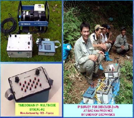
Participating in exploration in Cho Don (Bac Kan), by Cra-E company (Australia) and the Vietnamese side, by means of field transfer and stimulated polarization to detect ore bodies at a depth of >100 m in conditions above are dense exploration and exploitation works.
Geophysical studies in the Sinh Quyen copper mine, and the endogenous copper-gold Ta Phoi-Lao Cai confirm that geophysical anomalies are very effective in detecting mineral bodies. Geophysically verified detection depth according to exploratory drilling documentation. The predicted depth of mineralization is >500m.
The magnetite iron ore mine of skarn origin in Boong Quang, Cao Bang province was discovered in 2002 when conducting a detailed examination of the mineral prospect area demarcated according to magnetic and gravity flight data. Here, when measuring geological mapping, searching for minerals at the scale of 1:50,000, no signs of ore were detected, including mineralization. In the same place was discovered copper-nickel mineralization deep down, which was confirmed according to the drilling results.
Kon Queng magnesite mine, Gia Lai province was also discovered in 2000 when examining in detail the potential mineral area identified according to the results of magnetic flight – gamma spectrum. This is a rich ore mine with huge reserves.
Iron, lead-zinc mines in Ban Duan, Na On, Bac Can province were discovered by a combination of methods of electricity, magnetism, gravity and transfer field. The results of determining the reserve are forecasted to be 470,047 tons of lead-zinc ore and 8,713,236 tons of iron ore.
With these outstanding achievements, which are very proud, the Federation of Geophysics and Geophysics has been honored to be recognized by the Party and State and awarded many noble awards. Especially in the period from 2012 to 2016, the Federation was awarded the Second-class Labor Medal for outstanding achievements in work, contributing to the cause of building socialism and defending the Fatherland. .
Source: Geophysical Division./.


